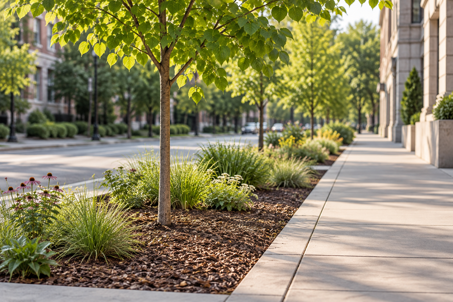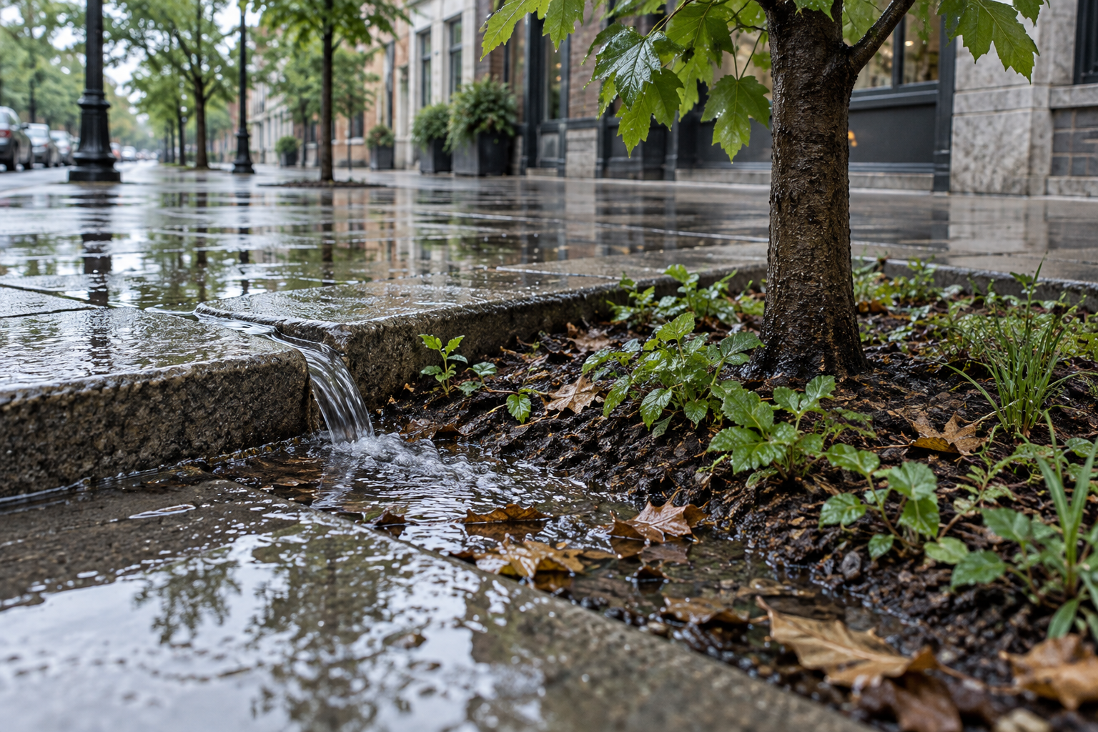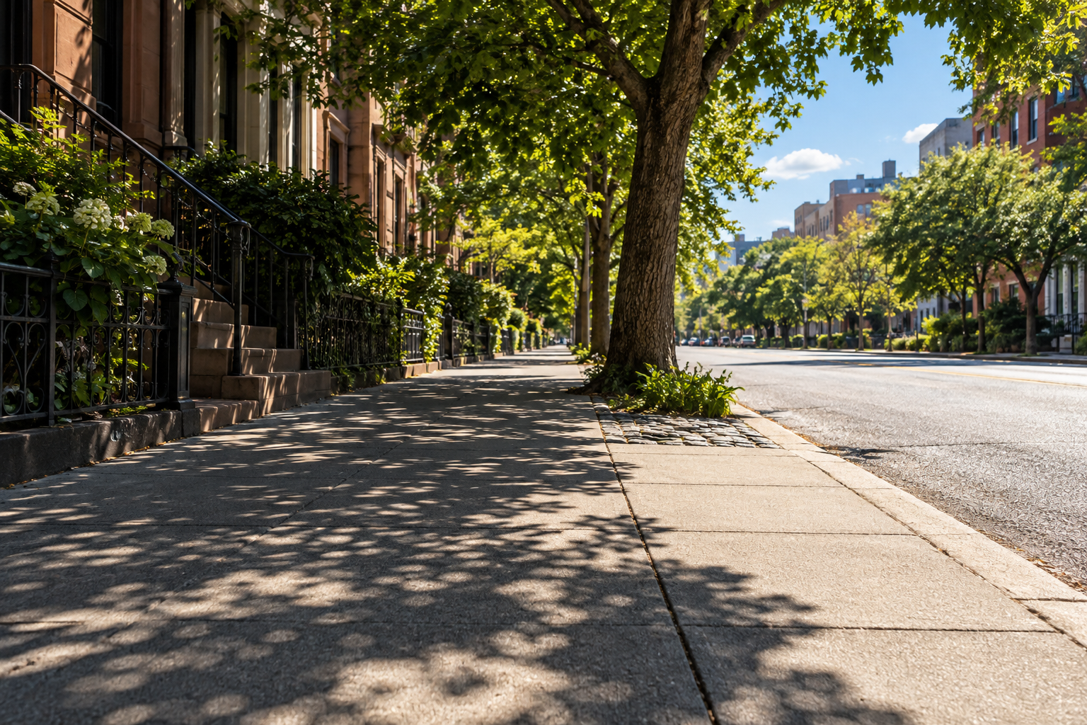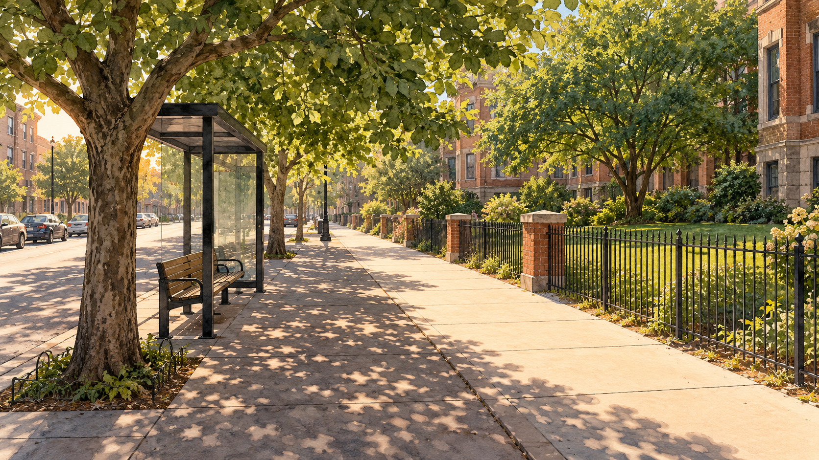
A tree can fill a square of an aerial photograph and leave the pavement beside it in full sun. The crown may shelter a yard, a roof, or the middle of a traffic island. For a person waiting at a crossing, its shadow can fall a few metres short. The difference is easy to miss when a city describes its trees with one number: the percentage of land beneath their crowns.
That number is worth having. An urban forest assessment from the US Forest Service describes aerial and satellite canopy maps as ways to locate and measure tree cover across a city. They show where crowns are, where cover has changed, and where planting space may exist. Field inventories answer other questions about species, size, and condition. A map made from above cannot, on its own, tell you whether a footpath is sheltered when people use it. The map sees a crown; a pedestrian meets a moving shadow.
A shadow has an address and an hour
Tree cover is a plan view: the footprint of a crown projected onto the ground below. Shade is an encounter between sunlight, foliage, and a particular place. As the sun moves, so does the shadow. A crown east of a pavement may shield it at one hour and miss it at another. The height of the branches, the spread and density of leaves, the width and direction of the street, and neighbouring buildings all change the result.
Measurements on residential streets in Melbourne make the geometry concrete. Sanusi and colleagues compared streets with more and less tree cover along east–west and north–south alignments, repeatedly measuring both sides from early morning to midafternoon on sunny summer days. On north–south streets, the east pavement had greater solar exposure early, while the west pavement had the greater exposure by midafternoon. The authors also found that the air-temperature difference associated with high canopy cover varied by street orientation. These are observations from particular streets and conditions, not a planting rule that transfers unchanged to every latitude. They show why a canopy percentage cannot specify where afternoon relief will land.
Even under a tree, shade is not a solid roof. Light comes through gaps between leaves and from the open sky. A US Forest Service study of pedestrian ultraviolet exposure modeled and measured radiation in open tree canopies. Places that looked shady could still receive a substantial share of the UV-B measured in direct sunlight. Its model was developed for a particular arrangement of separated crowns and clear-sky conditions; it does not turn every tree into an identical UV filter. The useful lesson is narrower: the appearance of shade, protection from direct sun, and protection from all incoming radiation are related, but different things.
Leaves also change during the year. In Florence, researchers measured surfaces beneath and outside a deciduous linden in summer and autumn. As its foliage thinned, more direct radiation reached the ground beneath it. The comparison between shaded and exposed asphalt surface temperatures shrank markedly as leaves fell. Autumn was also milder, so that surface-temperature change did not simply translate into a claim that the tree had become useless. A species that sheds leaves may provide welcome summer shade and admit winter light. Whether that is helpful at a particular stop or doorway depends on the season in which people need shelter.
The temperature a person feels
Shade often changes the radiation reaching a body more sharply than it changes the surrounding air. This distinction matters when a headline assigns a single temperature to an entire street. Air temperature is what a shielded thermometer samples. A sunlit person also receives direct and reflected solar radiation and exchanges heat with nearby surfaces. Thermal-comfort indices attempt to combine several parts of that exposure; their temperatures are not readings from an ordinary air thermometer.
At 21 locations in Amsterdam, researchers combined weather measurements, a thermal-comfort index, and pedestrian surveys on hot summer afternoons. Their field study found much larger differences in the comfort index between shaded and sunlit places than in measured air temperature. Respondents also reported shaded places as cooler and more comfortable. The reported index difference belongs to those sites and those afternoons; it should not be relabelled as an air-temperature drop that any tree will deliver. It does explain why a patch of shade can feel consequential even when a nearby weather station shows little change.
Trees can affect air as well. Leaves transpire water, and shading keeps some surfaces from absorbing as much sunlight. The US Environmental Protection Agency's trees and vegetation compendium treats shading and evapotranspiration as distinct mechanisms. Their effects depend on conditions, including water, ground cover, and the layout of the place. The case for a shaded bus stop therefore need not rest on a promise that a new tree will lower the air temperature by a fixed number of degrees. Blocking the sun at the bench is already a specific, testable service.
From a green area to a usable route
Where shade falls matters because people move. In a semi-controlled path-choice experiment in Singapore, participants tended to choose longer shaded routes over shorter sunny ones. The researchers distinguished tree shade from building shade in their model; participants' choices suggested they did not experience the two as equivalent. The experiment took place in one tropical campus setting, so it cannot define everyone's preference in every season. It does show why counting crowns over a district is a poor substitute for examining the sequence of exposed and sheltered steps between a transit stop and a destination.
There is another reason to look from pavement level. A Brisbane study used 210 hemispherical sky images beside public footpaths in ten suburbs to estimate how street trees, buildings, and other vegetation affected seasonal peak UV exposure. Its measurements and calculations belonged to actual walkway positions, where people would stand. They could distinguish a crown overhead from one visible nearby. That kind of view gives canopy mapping a useful partner: the question of what reaches the person at the place and time of exposure.
None of this makes canopy cover a poor city measure. It tells a city where trees exist and helps track whether the living canopy is being retained. A mature crown over private ground can provide other benefits even if it misses a pavement. But a city pursuing relief for walkers should add a second map: which walking links, crossings, playground seats, and waiting places are shaded during the hours that matter locally? On a hot route, a short unshaded gap at an exposed crossing may deserve attention even within a leafy neighbourhood. In another season, the preferred balance between shelter and sun may change.
This can begin with ordinary observation before a sophisticated model. Trace the shadows on the relevant side of a street at several hours, including the difficult part of the afternoon. Note whether the shade reaches the walking line or only parked cars, whether a person can wait in it, and whether an existing wall supplies cover. Check the tree's likely growing space and its present health rather than treating a small planted crown as immediate shelter. Repeat the observation when foliage and sun angle differ. These are questions to answer on site, not universal measurements supplied by a canopy target.
The two views belong together. The aerial image shows the extent of a city's trees; the pavement view shows what those trees do for a person passing through. Planning with both can protect the broad canopy while placing the next useful shadow where someone can actually enter it.
A thought worth keeping?